EVM ERP

Pre-Harvest

Land & Plot Intelligence for Precision Agriculture

Register every farm, land, and plot on an interactive map — draw boundaries or enter GPS coordinates, auto-calculate hectares, sync weather to each area, and connect mapped plots to satellite crop-health monitoring.

Land & Plot Intelligence

From digital boundaries to plot-level climate and crop health

Land & Plot Intelligence is the foundation for precision agriculture on Farm ERP: one registry for coordinates and areas, hyper-local weather at each plot centroid, and NDVI-based vigor analysis once boundaries are defined.

Land & map intelligence

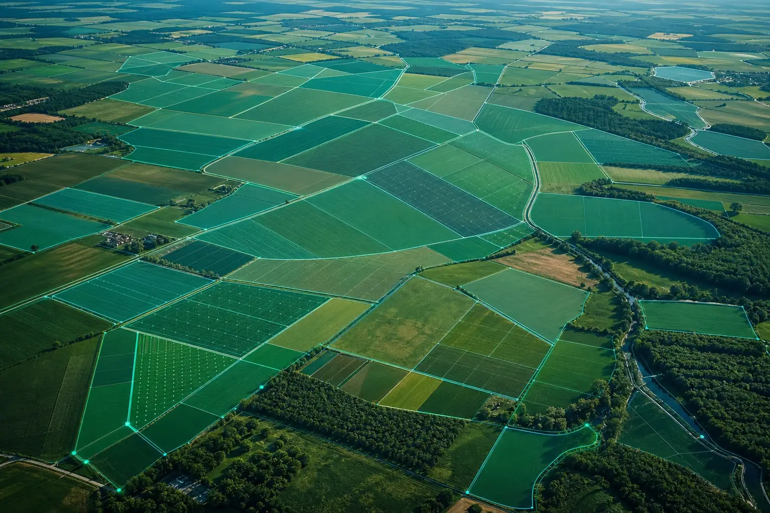
Draw farm boundaries, set coordinates, and see weather for each area

Register farms, lands, and plots on an interactive map — draw digital boundaries or enter GPS coordinates. Area is calculated automatically and climate data syncs to each location in your EVM Farm ERP platform.

EVM Farm · Plot Mapping
Search farm location…
Draw boundaryAdjust boundaries

Centroid (from polygon)

Latitude

9.0324

Longitude

38.7469

Area

12.48 ha

Weather for this area

North Block · Land 2

24°CPartly cloudy3.2 mm62% humidity
Satellite Intelligence

Precision Plot Monitoring

Once your plots are mapped, EVM Farm ERP connects them to real-time satellite imagery and hyper-local weather. Monitor Soil Temperature, UV Indexes, and track crop health using historical NDVI vegetation heatmaps.

Live Sync

Crop Health (NDVI)

Satellite-derived vegetation vigor analysis.

0.15

-17% Growth

Vegetation density is low. Possible water stress detected.

Micro-Climate

25.3°
Cloudy Conditions

Soil Temp

34.9°

UV Index

9.2

Wind

18.6 kph

Hum

21.0%

Water Stress

Estimated volumetric deficit based on evapotranspiration rates.

Supply Needed

Action Required

34% Capacity

Volumetric Deficit

85.0M Ltr

Historical Vegetation Timeline

NDVI 0.21

-29%

Severe Decline

NDVI 0.15

Stable

No Change

NDVI 0.14

+7%

Slight Growth

NDVI 0.09

+67%

Rapid Vigor

Digital boundary mapping

Capture farms, lands, and plots with GPS precision — draw on the map or enter coordinates with automatic hectare calculation.

Digital boundary mapping
Draw & adjust boundaries

Polygon tools with vertex editing for accurate field shapes and multi-plot estates.

Manual coordinates

Enter latitude and longitude when survey data already exists.

Auto area (ha)

Instant hectare totals from polygon geometry for contracts and reporting.

Plot registry

Link boundaries to crops, contracts, and operational cost centers.

Plot climate & crop monitoring

Exact-plot weather plus satellite-derived NDVI and micro-climate metrics after plots are mapped.

Plot climate & crop monitoring
Centroid weather sync

Real-time forecasts tied to each mapped block’s center point.

NDVI crop health

Vegetation vigor gauges and growth alerts from satellite imagery.

Micro-climate panel

Soil temperature, UV index, wind, and humidity per monitored plot.

Historical vegetation maps

Track NDVI trends over seasons to spot stress early on mapped blocks.

Benefits

One land registry

Register farms, lands, and plots with drawn boundaries or GPS points — one trusted record for hectares, ownership, and crop assignment.

Plot-level weather

Forecasts sync to each plot centroid so irrigation, planting, and spray windows match conditions on that block, not a generic region.

Satellite-ready blocks

Mapped polygons unlock NDVI vigor, micro-climate metrics, and seasonal vegetation trends without re-entering coordinates.

Traceability by plot

Link labor, harvest, contracts, and cost centers to specific mapped areas for audits, export, and buyer confidence.

Industries We Serve

From enterprise farms and plantations to agri-input, food & beverage, and development programs — modular SaaS that adapts to your industry.

Frequently Asked Questions

Find answers to commonly asked questions about our Agriculture Software.

You can draw polygons on the interactive map or enter latitude and longitude points manually. Hectare area is calculated automatically from the boundary, and each plot receives a unique ID in your land registry.

Still have questions? Contact our Agritech experts

Land & Plot Intelligence call to action background

Ready to map every hectare with confidence?

Book a walkthrough of Land & Plot Intelligence — boundaries, auto area, plot weather, and satellite monitoring in one Farm ERP foundation.

Let's Talk