EVM ERP

Pre-Harvest

Enhance your Farm Monitoring with Remote Sensing Technology

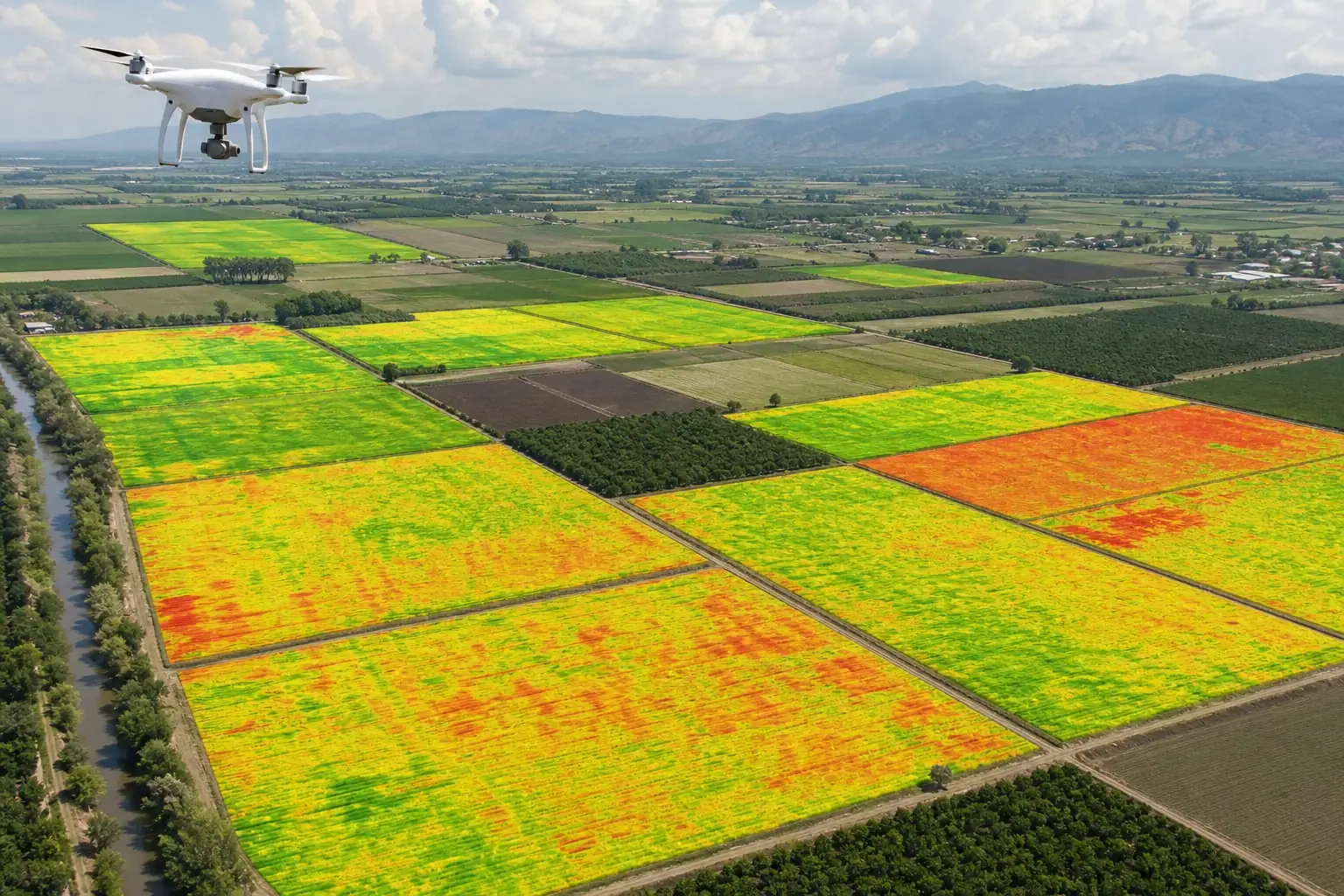
Our platform will allow you to integrate on-field IoTs and satellite technology to remotely manage and monitor your farm on a weekly basis, enabling you to capture crucial data on crop and soil health for faster, more informed decision-making.

Remote Sensing

Data is the new oil to strive in upcoming future

It empowers agribusinesses to make strategic decisions to optimize farming practices, streamline procurement process, and support sustainability — highlighting the role of remote sensing in agriculture.

Analytical Overview

Generate strategic interactive dashboards based on captured data to support agricultural and business decisions. leveraging solutions from precision agriculture software companies for improved insights and efficiency.

Analytical Overview
Live Dashboard

Regions

Search region…
Agtech platform background

Procurement Insights

Procurement
Yield
Analytics
Procurement area

Geo-map farms to outline procurement regions, enabling real-time tracking.

Resource Distribution

Create farm maps for targeted resource allocation and farm productivity tracking.

Crop Health Analysis

Evaluate crop damage areas to optimize resources and facilitate insurance claims.

Yield forecasting

Develop yield maps for precise production planning based on advance forecasting.

Crop Health Monitoring

Get high-resolution images of geo-mapped farm plots to monitor crop vitality and detect any issues early. With the help of remote sensing technology, farmers can monitor crop health and detect any issues early, allowing them to take proactive measures to prevent crop loss.

Crop Health Monitoring
NDVI Scan

Plots

Search plot…
Feature background visualization

Health Indices

Indices
Growth
Alerts
Plant Health Indices

Monitor plant health with side-by-side image comparisons for trend analysis.

Growth Rate Analysis

Track crop growth against expected parameters to quickly identify deviations.

Problem Detection

Receive instant alerts on potential crop health issues for prompt action.

Photosynthesis Tracking

Analyze chlorophyll content and activity to assess overall crop vigor and health.

Precision Agriculture

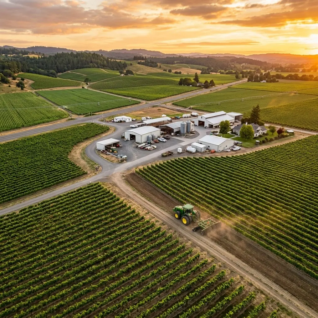
Employ satellite imagery and remote sensing technology in agriculture to refine farming techniques for optimal output and resource efficiency.

Precision Agriculture
Input Plan

Zones

Search zone…
Feature Preview
Planning
Inputs
Overview
Crop Planning

Optimize crop plan and rotation based on historical yield data and current satellite analysis.

Input Management

Precisely apply water, fertilizers, and pesticides where needed, reducing waste.

Timely Interventions

Use real-time satellite and weather data to make proactive agronomy decisions.

Crop Overview

Maintain a detailed view of crop health to manage operations effectively.

Farmer Engagement

Provide data-driven actionable insights and notifications directly to farmers, using the remote sensing concept and application in agriculture to enhance productivity and sustainability.

Farmer Engagement
Send Alert

Farmers

Advisory Feed

Agribusiness Feature Display
Advisories
Compliance
Promotions
Crop advisories

Proactively alert farmers about pest control based on upcoming weather conditions.

Compliance Alerts

Notify farmers about pesticide applications that comply with certification standards.

Product Promotion

Send stage-specific product usage reminders linked to an online digital store.

Carbon Sequestration

Provide guidance on optimizing farming practices to meet carbon reduction goals.

Use cases

Agri-input Organizations

Agri-input Organizations

Develop tailored marketing strategies based on in-depth market and crop intelligence.

Food Production Companies

Food Production Companies

Digitize pre-procurement operations to monitor crop growth and ensure sustainable practices.

Governments/NGOs

Governments/NGOs

Utilize comprehensive data for project oversight and targeted farmer advisories.

Crop Insurance and Banks

Crop Insurance and Banks

Streamline insurance claims and credit processes with detailed, real-time farm data.

Benefits

Operational Efficiency

Gain real-time insights for quicker decision-making and process optimization.

Strategic Decision-Making

Use data to formulate precise strategies for increased profitability.

Robust Data Repository

Continuously collect detailed field data to build a valuable resource for future business decisions.

Increased Productivity

Optimize every operational step to maximize output and profitability with minimal input.

Industries We Serve

From enterprise farms and plantations to agri-input, food & beverage, and development programs — modular SaaS that adapts to your industry.

Frequently Asked Questions

Find answers to commonly asked questions about our Agriculture Software.

Remote sensing helps monitor crop health, soil moisture, and nutrient levels. By analyzing satellite or drone imagery, farmers can make timely decisions on irrigation, fertilization, and pest control.

Still have questions? Contact our Agritech experts

Remote Sensing call to action background

Want a unified platform to elevate your agritech strategies?

Monitor and measure the operations within your agri-value chain to take a step towards sustainability!

Let's Talk